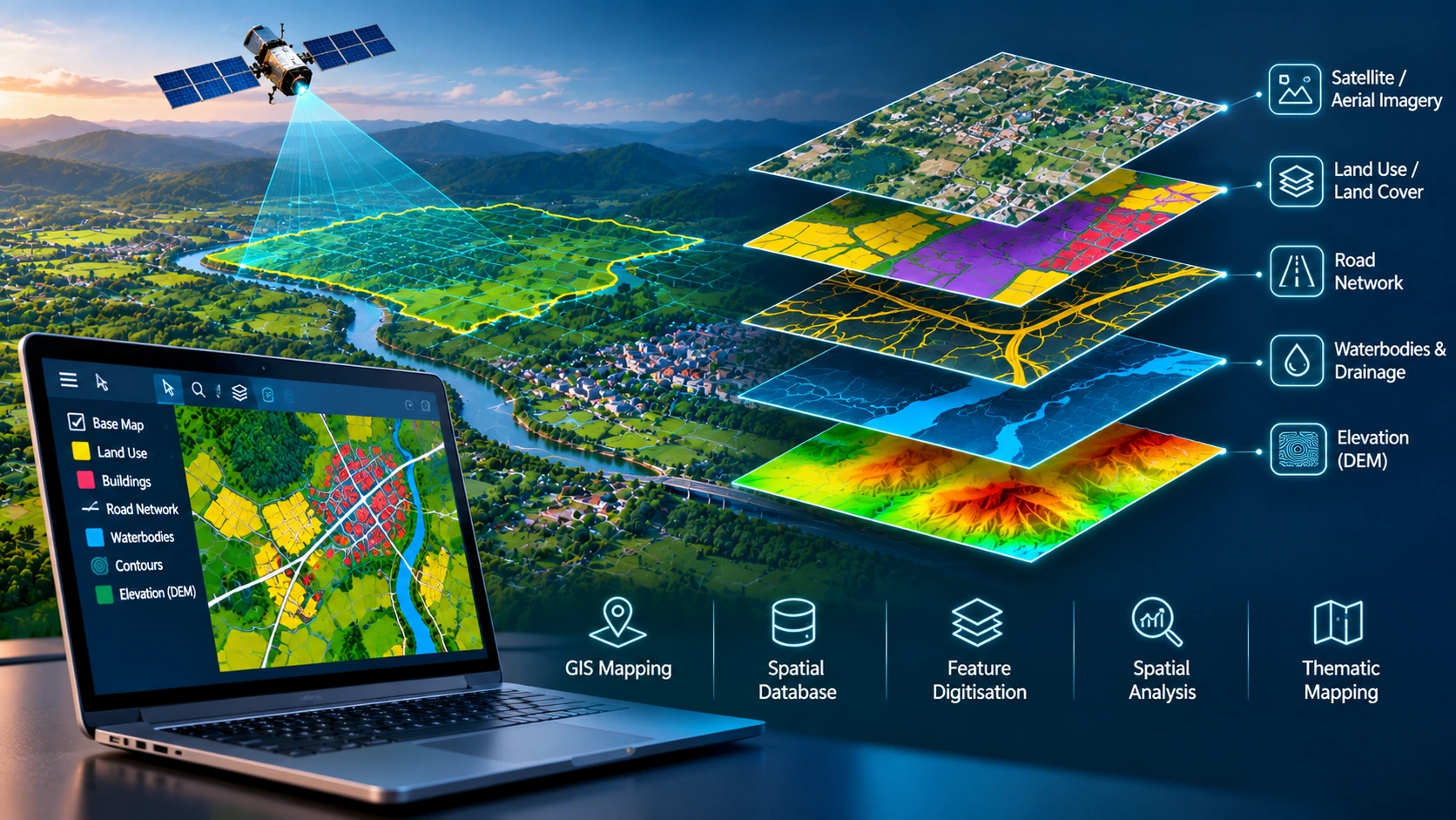
Geographic Information Systems (GIS) provide a structured framework for capturing, managing, analysing and visualising information associated with geographic locations. By combining spatial data with descriptive attributes, GIS enables organisations to understand geographic relationships, identify patterns and support decisions involving land, infrastructure and environmental resources.
At Crafty Solutions, our GIS services focus on transforming geospatial datasets into organised, accurate and practical mapping information. We support the processing, digitisation, integration and management of spatial data for engineering, infrastructure, urban planning and geographic information projects.
Whether working with satellite imagery, aerial photographs, LiDAR-derived information, survey drawings or existing GIS databases, our processing approach focuses on developing consistent datasets that can be used across mapping, planning and engineering workflows.
GIS Data Processing and Management
Geospatial projects frequently involve information collected from multiple sources, formats and coordinate systems. Before this information can be used effectively, it must be organised and prepared for integration.
Our GIS data processing workflows may include:
- Spatial data conversion and format standardisation
- Coordinate system transformation and reprojection
- Geographic feature digitisation and vectorisation
- Attribute data preparation and validation
- Spatial data cleaning and topology checks
- Geospatial database organisation
- Integration of multiple geographic datasets
These activities help establish a consistent spatial information base for mapping, analysis and asset documentation.