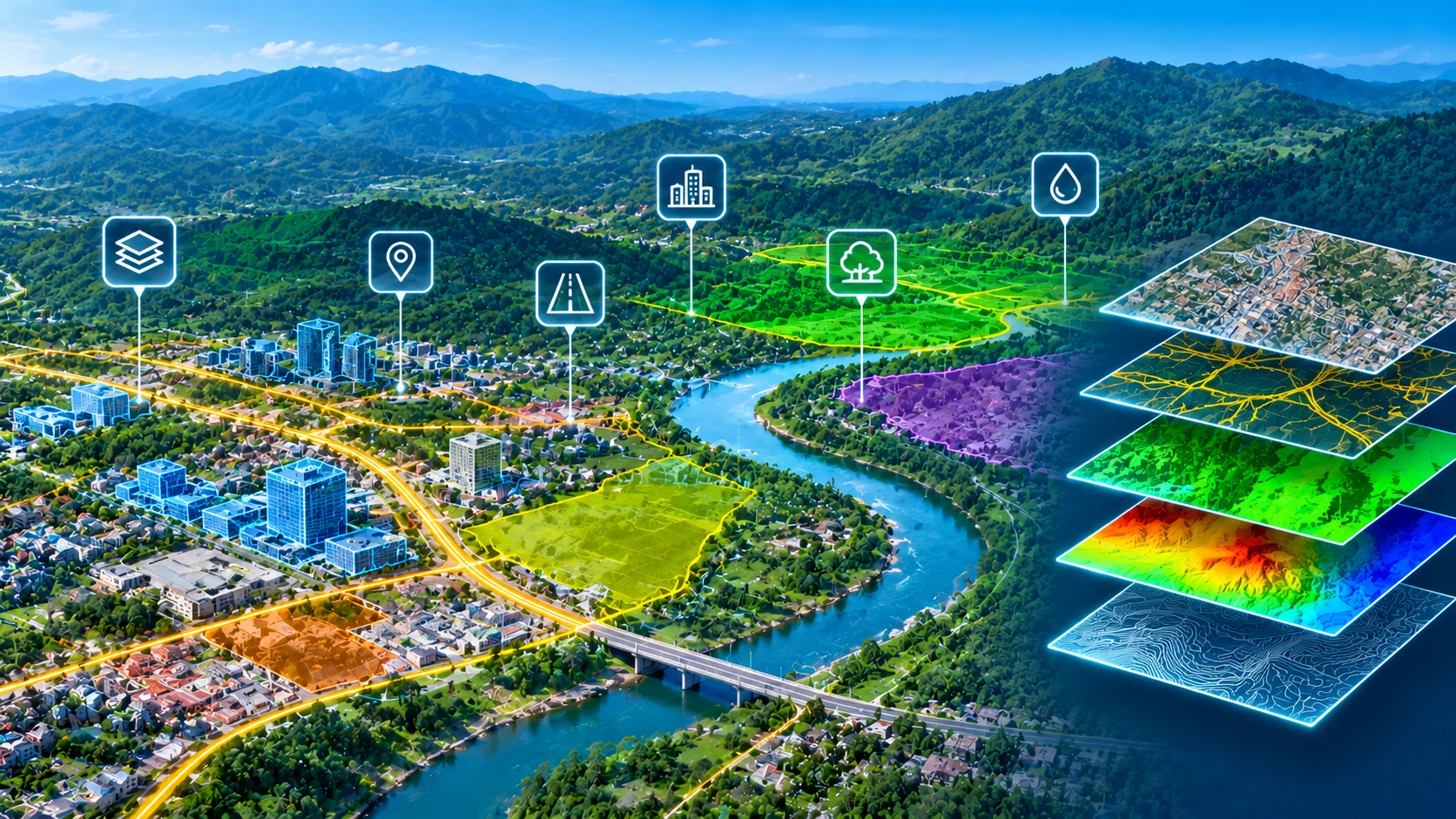
GEOSPATIAL INTELLIGENCE & GIS SOLUTIONS

GIS (Geographic Information System)

Transform complex geographic data into accurate, structured and actionable spatial information. Our GIS services support geospatial data processing, digital mapping, spatial database development and geographic analysis to help organisations plan infrastructure, manage assets and make informed decisions.

  • GIS Mapping & Spatial Data Processing
  • Geospatial Database Development
  • Spatial Analysis & Feature Digitisation
DATA PROCESSING / DIGITAL OUTPUTS
SCROLL TO EXPLORE

SERVICE OVERVIEW

Transforming Geographic Data into Intelligent Mapping Solutions

From source datasets to organised geospatial information ready for project workflows.

OUR PROCESS

From Data to Deliverables.

01 Source Data Client-provided project inputs
02 Data Processing Classification, modelling and mapping
03 Digital Outputs Structured GIS and engineering data
TRANSFORMING DATA INTO VALUE

Geographic Information Systems (GIS) provide a structured framework for capturing, managing, analysing and visualising information associated with geographic locations. By combining spatial data with descriptive attributes, GIS enables organisations to understand geographic relationships, identify patterns and support decisions involving land, infrastructure and environmental resources.

At Crafty Solutions, our GIS services focus on transforming geospatial datasets into organised, accurate and practical mapping information. We support the processing, digitisation, integration and management of spatial data for engineering, infrastructure, urban planning and geographic information projects.

Whether working with satellite imagery, aerial photographs, LiDAR-derived information, survey drawings or existing GIS databases, our processing approach focuses on developing consistent datasets that can be used across mapping, planning and engineering workflows.

GIS Data Processing and Management

Geospatial projects frequently involve information collected from multiple sources, formats and coordinate systems. Before this information can be used effectively, it must be organised and prepared for integration.

Our GIS data processing workflows may include:

  • Spatial data conversion and format standardisation
  • Coordinate system transformation and reprojection
  • Geographic feature digitisation and vectorisation
  • Attribute data preparation and validation
  • Spatial data cleaning and topology checks
  • Geospatial database organisation
  • Integration of multiple geographic datasets

These activities help establish a consistent spatial information base for mapping, analysis and asset documentation.

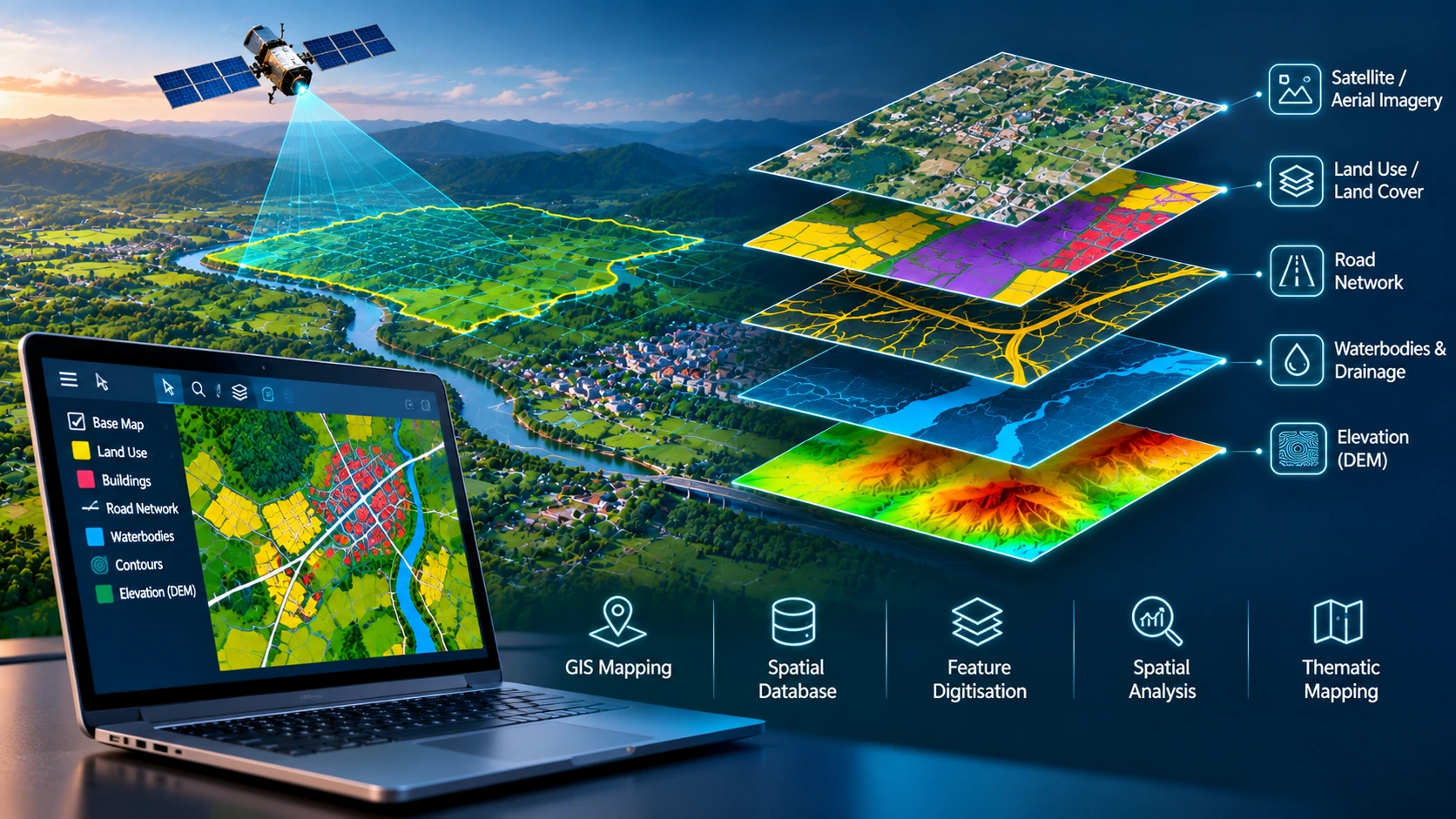
VISUAL DATA TRANSFORMATION

From Raw Geographic Data to Structured GIS Mapping

Watch the automatic comparison or drag the divider to inspect each result.

OUR OUTPUTS

Our GIS Mapping and Data Processing Deliverables

Structured mapping and engineering deliverables prepared to suit your project requirements.

01

GIS Vector Datasets

Organised point, line and polygon datasets representing geographic features such as roads, buildings, land parcels, utilities and infrastructure assets.

02

Digital GIS Maps

Georeferenced maps developed from spatial datasets for geographic visualisation, infrastructure documentation, land-use analysis and planning applications.

03

Geospatial Databases

Structured geographic datasets containing spatial features, associated attributes and coordinate information for geographic information management.

LET'S WORK TOGETHER

Turn Your Geographic Data into Actionable GIS Intelligence

Have spatial datasets, survey drawings, satellite imagery or existing GIS information that requires processing? Share your geographic data and project requirements with Crafty Solutions to discuss GIS mapping, data digitisation, database development and spatial analysis deliverables.

Request a Consultation