PRECISION IN EVERY DIMENSION

Turning Real-World Data into Real Possibilities.

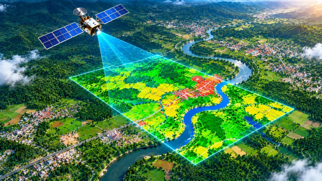
From LiDAR data processing and mobile mapping to GIS, digital photogrammetry and 2D/3D engineering, we turn complex spatial data into dependable solutions for planning and design.

INDUSTRIES WE SERVE

Mapping the World. Powering Better Decisions.

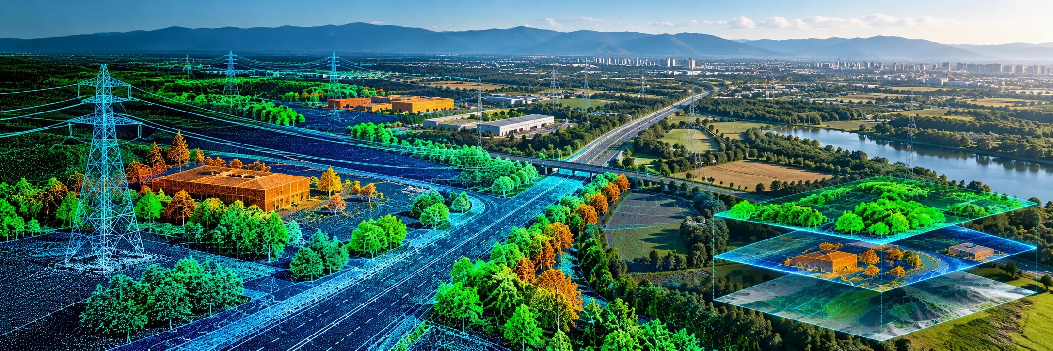
From transport infrastructure and utility networks to industrial facilities and natural landscapes, Crafty Solutions transforms complex spatial data into practical information for planning, design and engineering.

PRECISION-DRIVEN GEOSPATIAL SOLUTIONS
01
FEATURED INDUSTRY

Transportation & Infrastructure

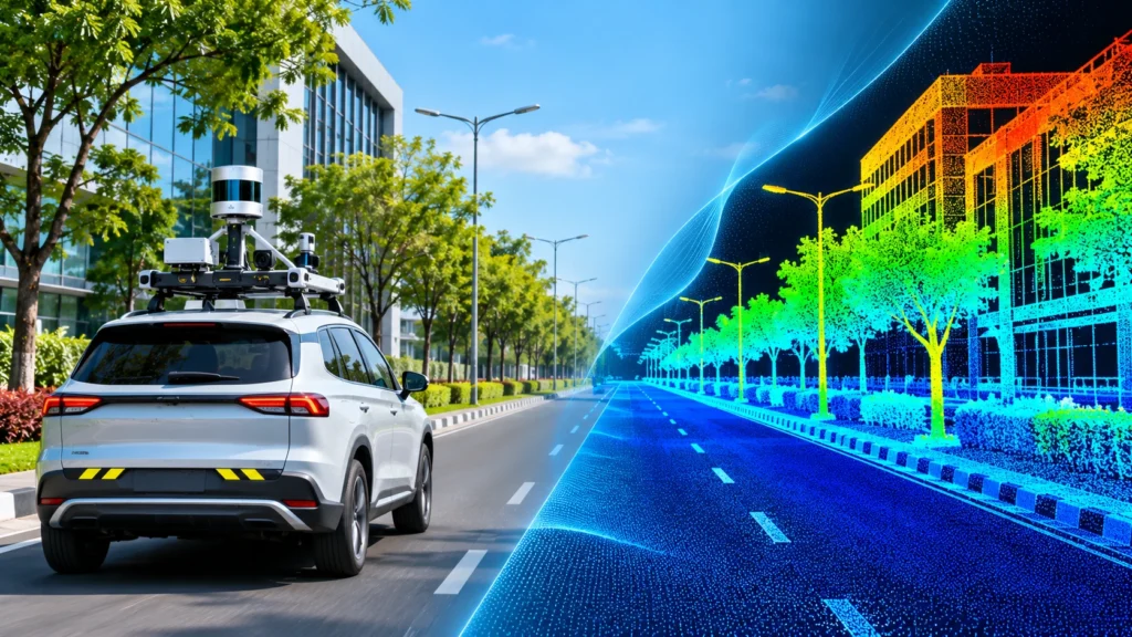
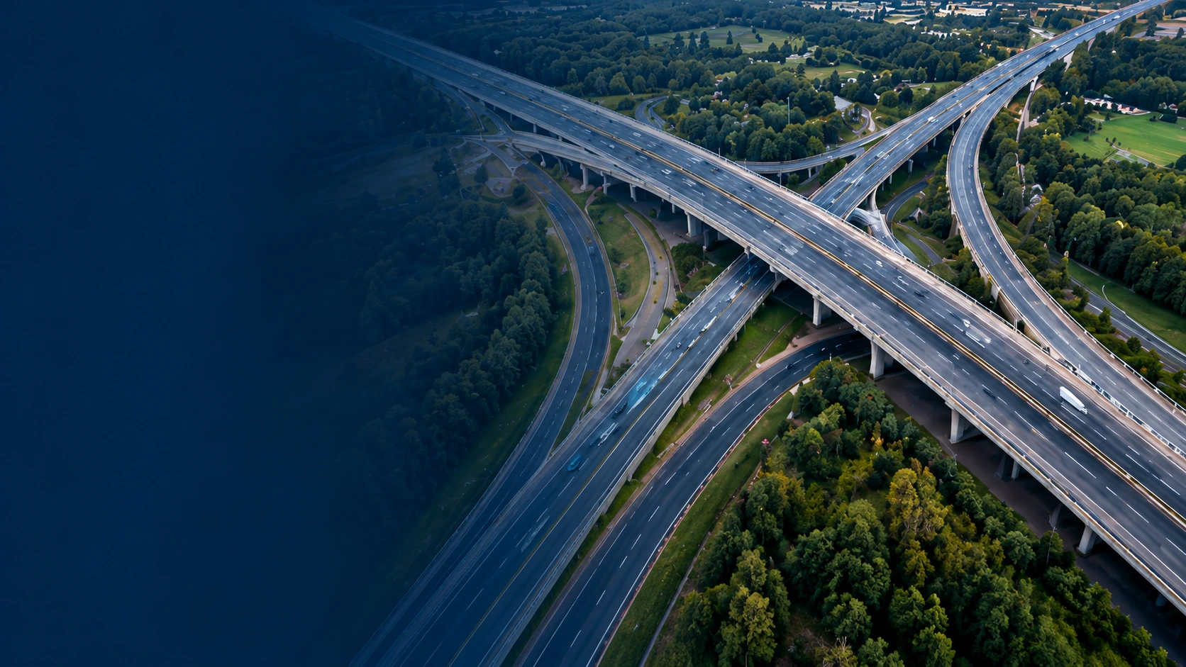
Mobile mapping and geospatial data processing for highways, roads, railways and transport corridors.


02

Energy & Power Utilities

LiDAR and GIS data processing for power lines, utility networks and infrastructure mapping.

03

Oil, Gas & Industrial Plants

Terrestrial laser data processing and 2D/3D engineering support for piping systems and industrial facilities.

04

Land & Terrain Mapping

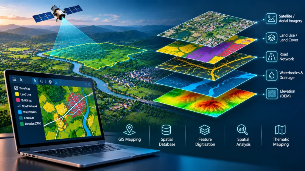
Digital terrain models, elevation models, contours, breaklines and topographic mapping.

05

Buildings & Civil Engineering

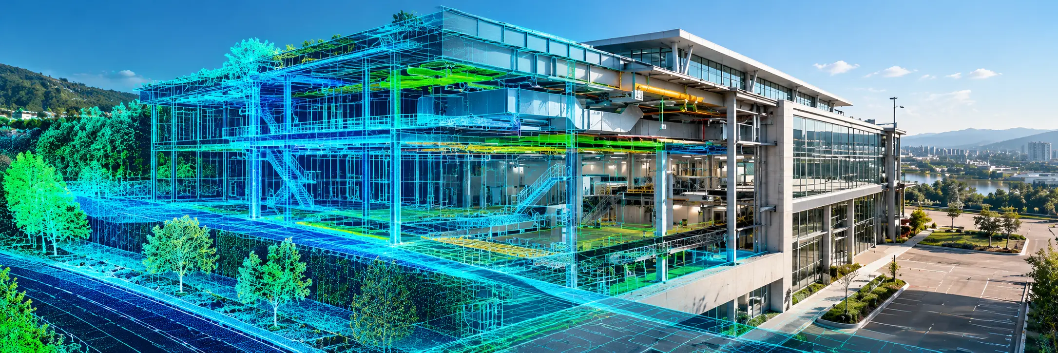
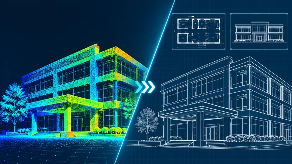
2D/3D engineering services supporting architectural plans, civil drawings and structural projects.

06

Forestry & Environmental Mapping

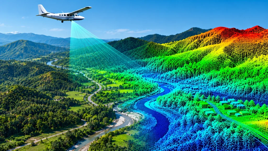
Geospatial data processing for forestry, terrain analysis and coastal landscape applications.

CRAFTY SOLUTIONS IN NUMBERS

Engineered for a smarter world.

From complex geospatial data to practical solutions, our work supports informed planning, design and infrastructure development.

2017

Established

Delivering geospatial and engineering solutions since 2017.

10+

Years of Team Experience

Technocrats bringing extensive experience to spatial data projects.

06

Application Areas Highlighted

Supporting infrastructure, utilities, industrial and environmental applications.

2D/3D

Engineering Services

Supporting architectural, civil and piping design requirements.

EXPERTISE AT SCALE

From Real-World Data to Digital Reality.

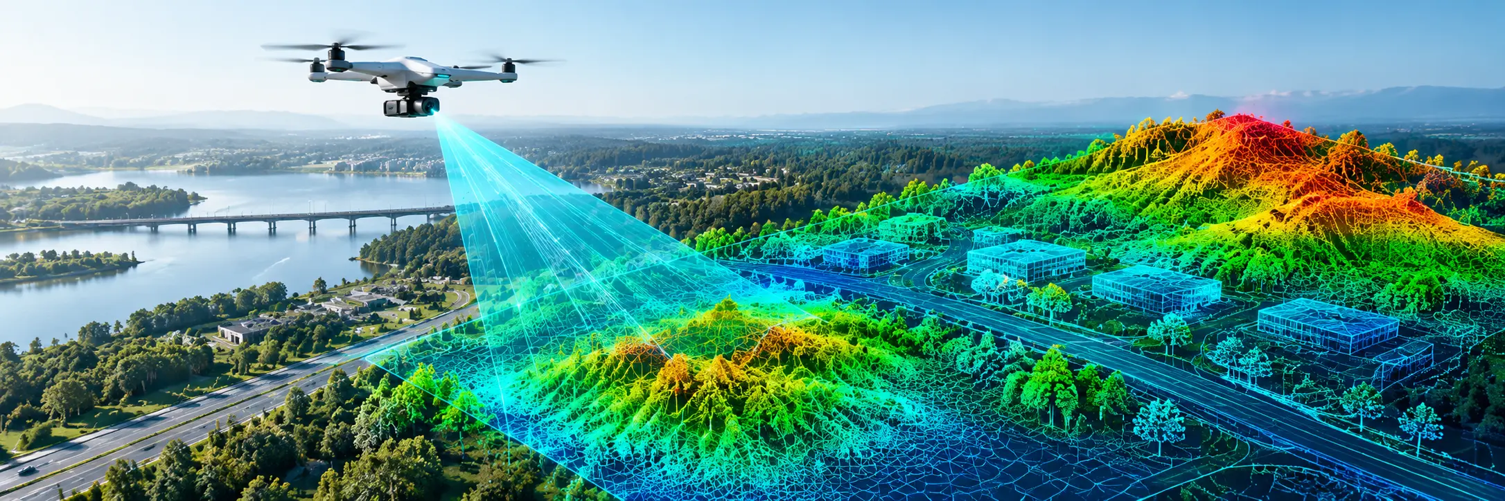
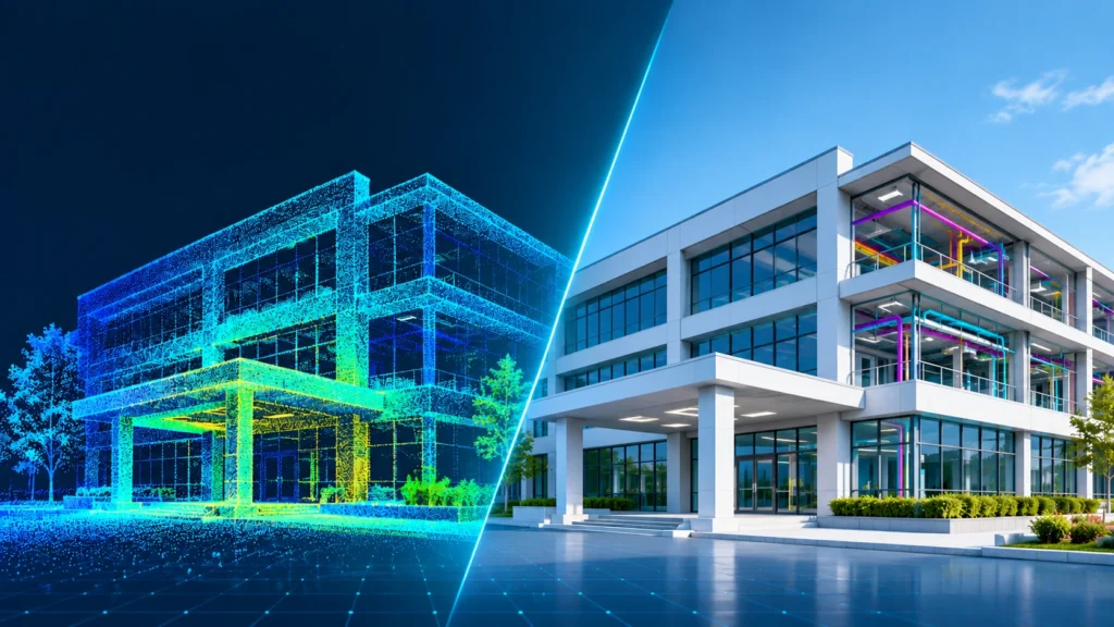
We transform LiDAR, imagery and engineering data into accurate, usable spatial information for infrastructure, utilities, industrial facilities and land mapping.

  • High-Accuracy Data Processing
  • Structured Mapping Workflows
  • Engineering-Ready Deliverables
Explore Our Capabilities
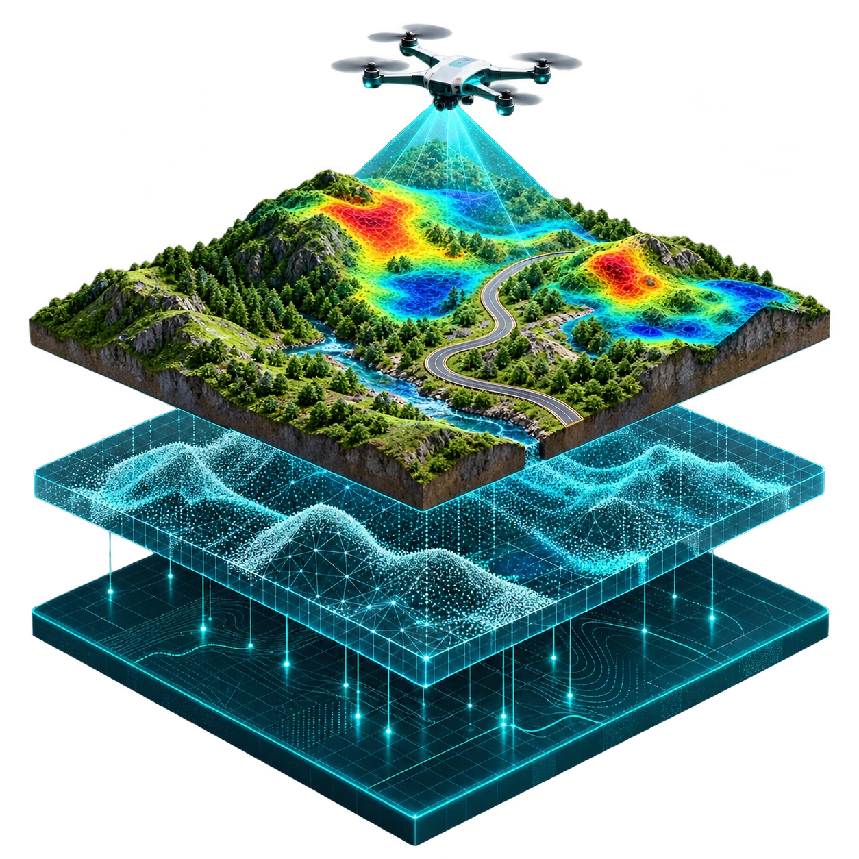
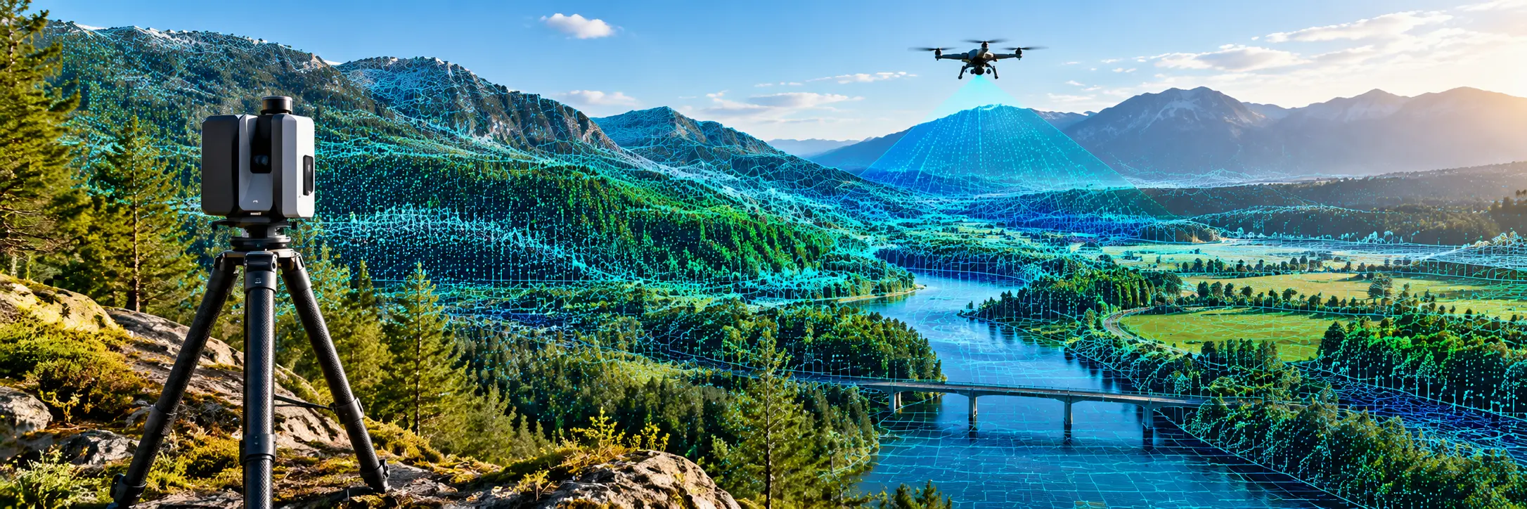
Isometric geospatial illustration showing a drone scanning terrain above point cloud and digital mapping layers
01 / 04

Process

Airborne and mobile LiDAR data processing for terrain, roads and infrastructure datasets.

02 / 04

Classify

Ground and non-ground classification, corridor features and utility asset mapping.

03 / 04

Model

Digital terrain and elevation models, contours, and 2D/3D engineering deliverables.

04 / 04

Capture

Digital photogrammetry, remote sensing imagery and survey-data workflows for mapping.

HOW WE WORK
FROM INPUT TO OUTPUT

Complex Data. Clear Deliverables.

Every project starts with a different dataset and a different objective. Our structured workflow brings together careful data preparation, specialised processing and delivery-focused quality checks.

PROCESS WORKFLOW CS / DATA
DATA / 01 OUTPUT / 04
Discuss Your Project
OUR PROCESS 04 STAGES
CRAFTY SOLUTIONS GEOSPATIAL PROCESSING & ENGINEERING
LET'S WORK TOGETHER

Your Next Project. Our Precision.

Have geospatial data to process, map or model? Share your project requirements with our team. We'll help you define the right processing approach and deliverables.

Project-specific workflows. Purpose-built deliverables.
CRAFTY SOLUTIONS GEOSPATIAL PROCESSING & ENGINEERING
OUR TECHNOLOGY ECOSYSTEM

Our Technology Partners.

Our technology ecosystem supports geospatial data processing, digital mapping, 3D modelling and engineering workflows.

Discuss Your Project
Partner Network
02 Technology Partners